Nexrad Spatial VR
A downloadable tool for Windows
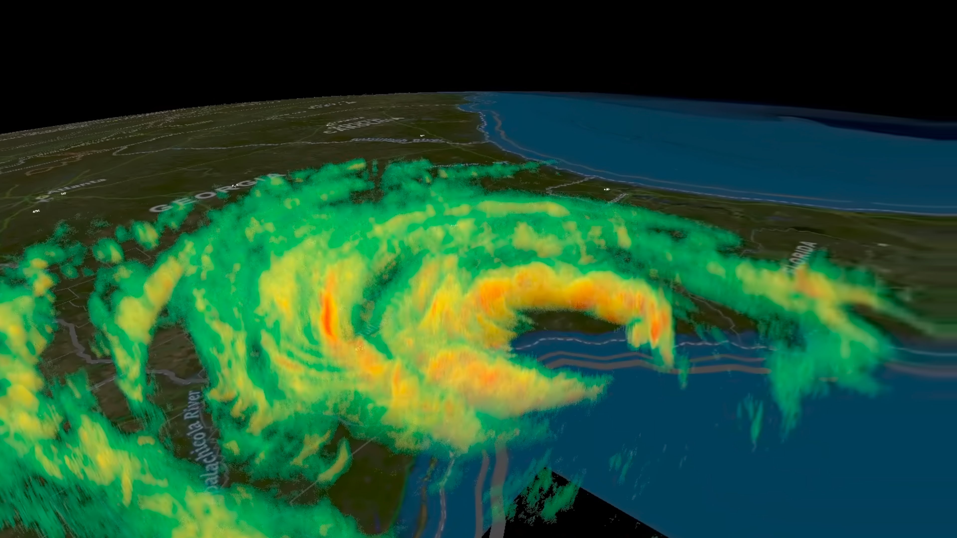
Nexrad Spatial - 3D Volumetric Weather Radar in VR
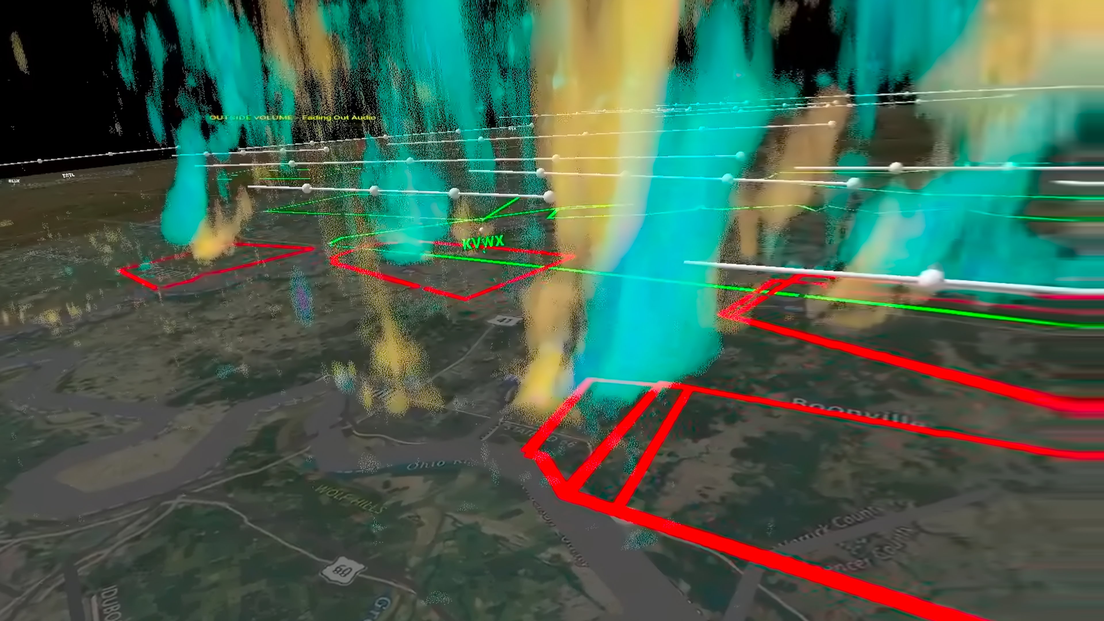
Nexrad Spatial converts 2D weather radar data into 3D volumetric environments for Virtual Reality. Built in Unreal Engine 5.7, the application allows users to analyze both real-time radar sweeps and historical storm archives across the United States in a 3D spatial interface.
Key Features
VR Inspector Tool
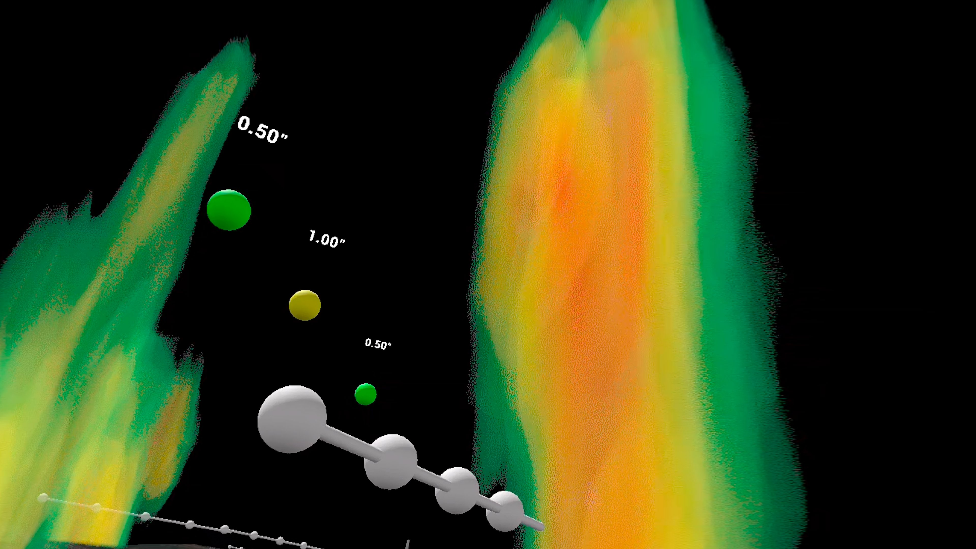
- Interactive Data Probing: Use VR controllers to probe specific locations within a storm volume.
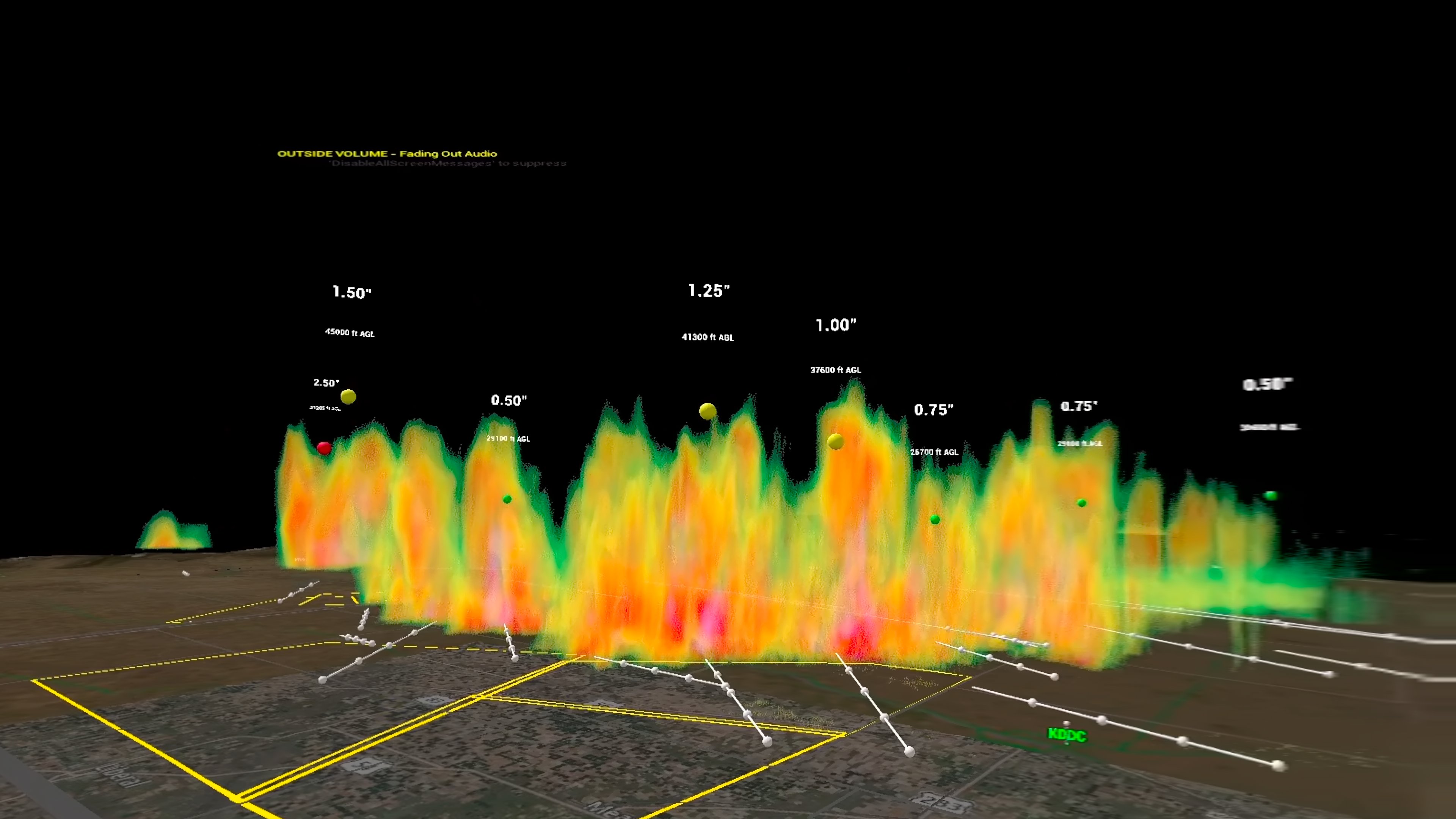
- Voxel Information: Displays exact dBZ, velocity, and radar moment values along with altitude Above Ground Level (AGL) on the controller interface.
3D Volumetric Rendering
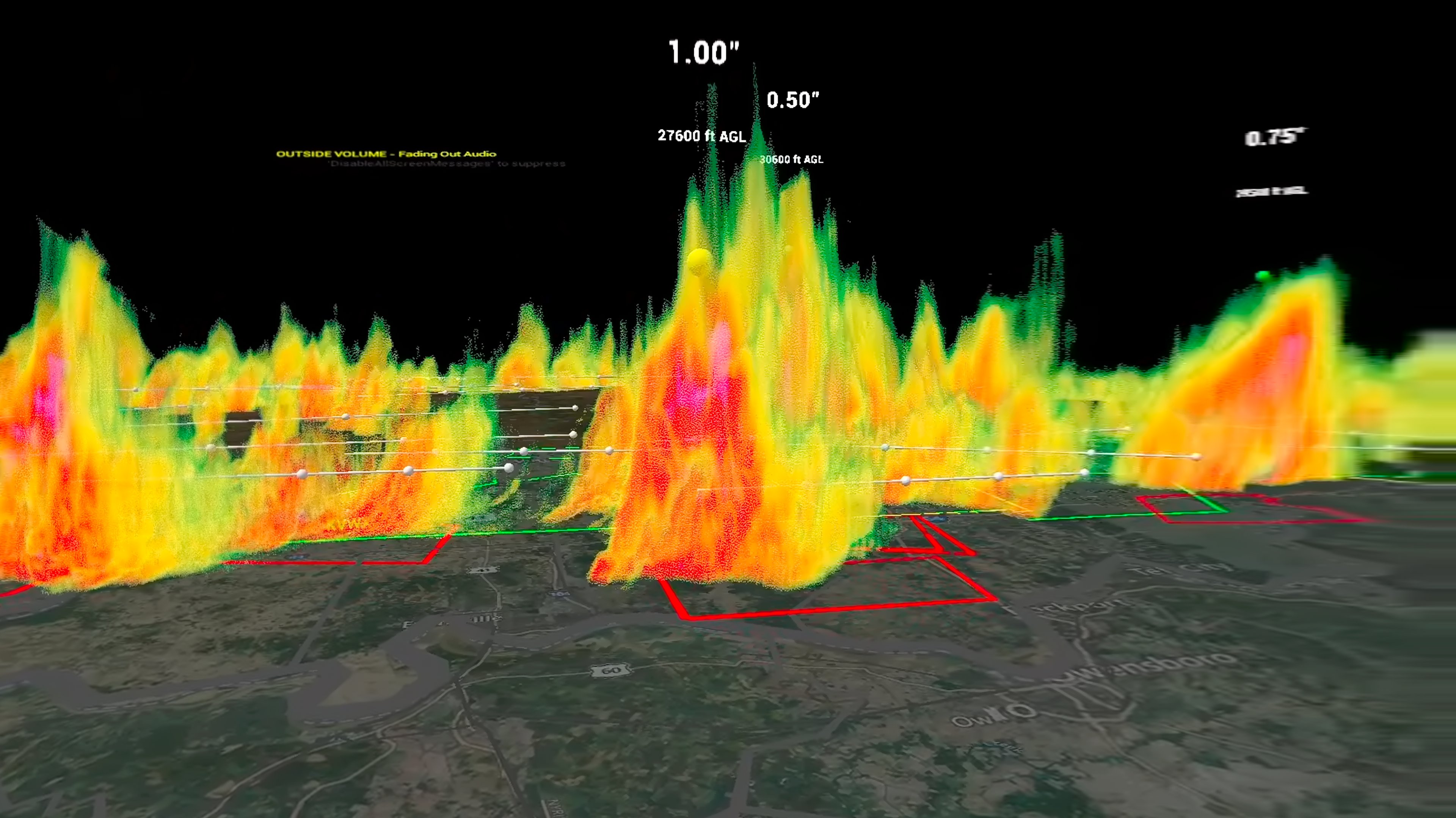
- Level II Data Processing: Parses raw NEXRAD binary data into volumetric voxel fields using ray marching shaders.
- Supported Radar Products: Reflectivity, Radial Velocity, Spectrum Width, Correlation Coefficient, and Differential Reflectivity.
- Topographical Mapping: Renders radar volumes over a 3D USGS global map with elevation data and GIS boundaries.
Data Access & Historical Archiving
- Real-Time Radar Fetching: Select radar dish locations on the 3D map to download and render live radar sweeps.
- Built-In Archive System: Import, store, and replay historical NEXRAD Level II archive datasets for past severe weather events via the dedicated Archive tab.
- Geographic Scope: Currently supports radar coverage across the contiguous United States.
National Weather Service Integration
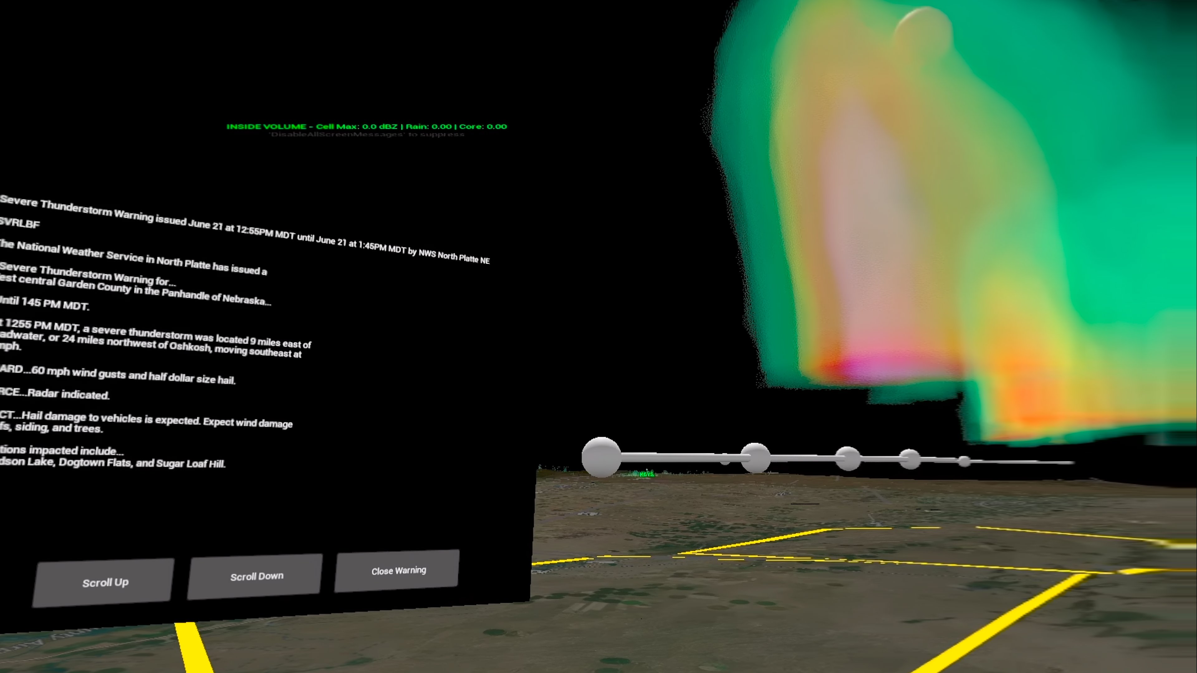
- Live Warning Outlines: Connects to the NWS API to display procedural 3D outlines for Tornado, Severe Thunderstorm, Flash Flood, and Special Marine warnings on the map surface.
- Interactive Alerts: Select warning polygons in VR to read the full warning text issued by the NWS.
Level 3 Storm Tracking & 3D Markers
- Storm Cell Signatures: Processes Level 3 storm tracking data to place 3D visual markers for Hail and Tornado Vortex Signatures (TVS) at storm cell echotop altitudes.
Spatial Audio & System Features
- 3D Spatial Audio: Rain and hail audio adjust dynamically based on user position relative to the radar volume.
- Custom Color Tables: Drop
.palconfiguration files into the project directory to customize reflectivity and velocity palettes. - Interface Options: Includes Imperial/Metric unit conversions, customizable locomotion properties, and configurable frame rate limits.
- Performance Optimization: Distance-culling and Level of Detail (LOD) systems manage rendering loads for complex GIS and warning geometry.
Hardware Compatibility
Built on the OpenXR standard for PCVR. Compatible with Meta Quest (via Link, AirLink, or Virtual Desktop), Valve Index, Windows Mixed Reality, and HTC Vive headsets.
Credits & Licensing
- Developed as an expanded derivative work of the open-source OpenStorm Radar project by Jordan Schlick.
- Data provided by NOAA, the National Weather Service (NWS), and the USGS.
Purchase
In order to download this tool you must purchase it at or above the minimum price of $15 USD. You will get access to the following files:
Development log
- First Upload2 days ago
Leave a comment
Log in with itch.io to leave a comment.